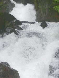
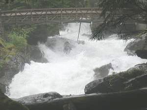
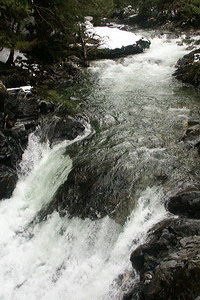
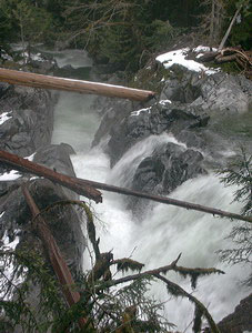
 Alpine Falls
Rating: **
Form: segmented
Magnitude: 17 (l)
Access: auto or bushwhack (page 48)
USGS Map: Scenic (1982)
Edition: 1st
 Alpine Falls
Rating: **
Form: segmented
Magnitude: 17 (l)
Access: auto or bushwhack (page 48)
USGS Map: Scenic (1982)
Edition: 1st
 Deception Falls
Rating: **
Form: cascade
Magnitude: 34 (h)
Access: trail (page 49)
USGS Map: Scenic (1982)
Edition: 1st
 Lower Falls
Rating: **
Form: rapids
Magnitude: 26 (h)
Access: trail (page 49)
USGS Map: Scenic (1982 ns)
Edition: 4th
 Monkey Cage Falls (u)
Rating: **
Form: punchbowl
Magnitude: 33 (h)
Access: trail (page 50)
USGS Map: Scenic (1982 ns)
Edition: 5th
 Crack in the Ground Falls (u)
Rating: ***
Form: segmented
Magnitude: 43 (h)
Access: trail (page 50)
USGS Map: Scenic (1982 ns)
Edition: 5th
Others
A stream named Great Falls Creek suggests the existence of Great Falls (u), USGS Grotto (1982 ns), but imagery suggests accessibilty to be very sketchy.
COPYRIGHT 2024 by Gregory A. Plumb
GUIDEBOOK published by
Mountaineers Books